
Experience, calculate and visualize rooms
Surveying technician
The space in which we live is precisely divided up: Streets, parks, buildings, forests, plots of land, bodies of water and everything that takes up space. To ensure that the interplay of spaces works and that the development of new spaces fits well into this system, the precise definition of locations and their integration into the landscape as well as compliance with the legal system are essential prerequisites.
In the city of Bonn, the Office for Land Management and Geoinformation is responsible for this. It manages the real estate cadastre covering an area of 141 square kilometers, carries out property valuations and monitors land use planning, surveys and manages geodata.
To fulfill these tasks, the city of Bonn trains surveying technicians.
Were mathematics, physics and geography your favorite subjects at school? Are you interested in graphical data processing? Did you not plan to spend your professional life exclusively in front of a computer display? Can you imagine collecting geodata in the field using modern measuring equipment, calculating it using surveying technology and then processing it into computer-aided maps and planning documents? If you also enjoy working
If you also enjoy working in a team and are flexible, then you should become a "spatial driver" and learn the profession of surveying technician.
Training as a surveying technician at the City of Bonn takes three years. The training period can be shortened on application if you have a higher qualification than a secondary school leaving certificate or if you have the appropriate grades. Vocational school lessons take place one or two days a week at the Berufskolleg Ulrepforte in Cologne.

"I find it super interesting to measure the conditions in the city and to display them digitally using the latest technology."
A. Müller | Surveying technician

Topographic survey
We've all seen it before. Two people in the landscape or on the road. One at the angled prism and one a little further away with the alignment stick. It looks so simple, but it takes much more to collect data in order to create accurate maps. The correct handling of these and many other highly sensitive measuring devices is therefore a focal point of field service training.
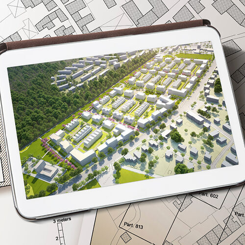
Creation of site plans with CAD technology
The multitude of data obtained during surveying and other available geodata are combined to create site plans.
The surveying technician uses geographic information systems and special CAD programs to do this.
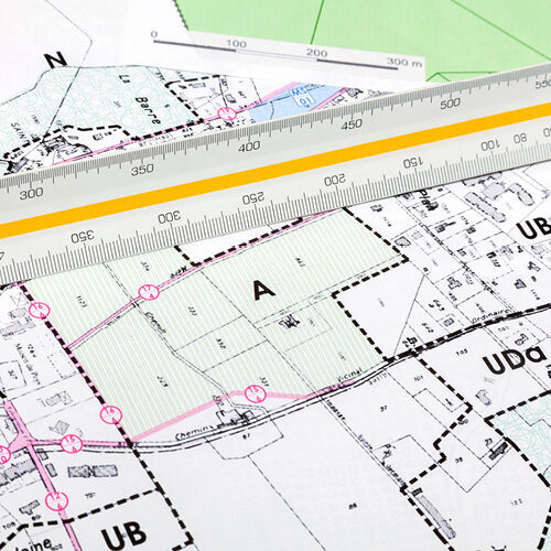
Transfer of land and building surveys to the real estate cadastre
All land parcels and their descriptions are kept in a large register of the city administration. This is the real estate register. All entries in this cadastre must be continuously updated and specified. It is therefore also part of the job of a surveying technician to carry out the necessary land and building surveys and enter them into the real estate register.